RákosPark, Budapest

Green – Connected – Neighborhoods

The park determines how the city grows.

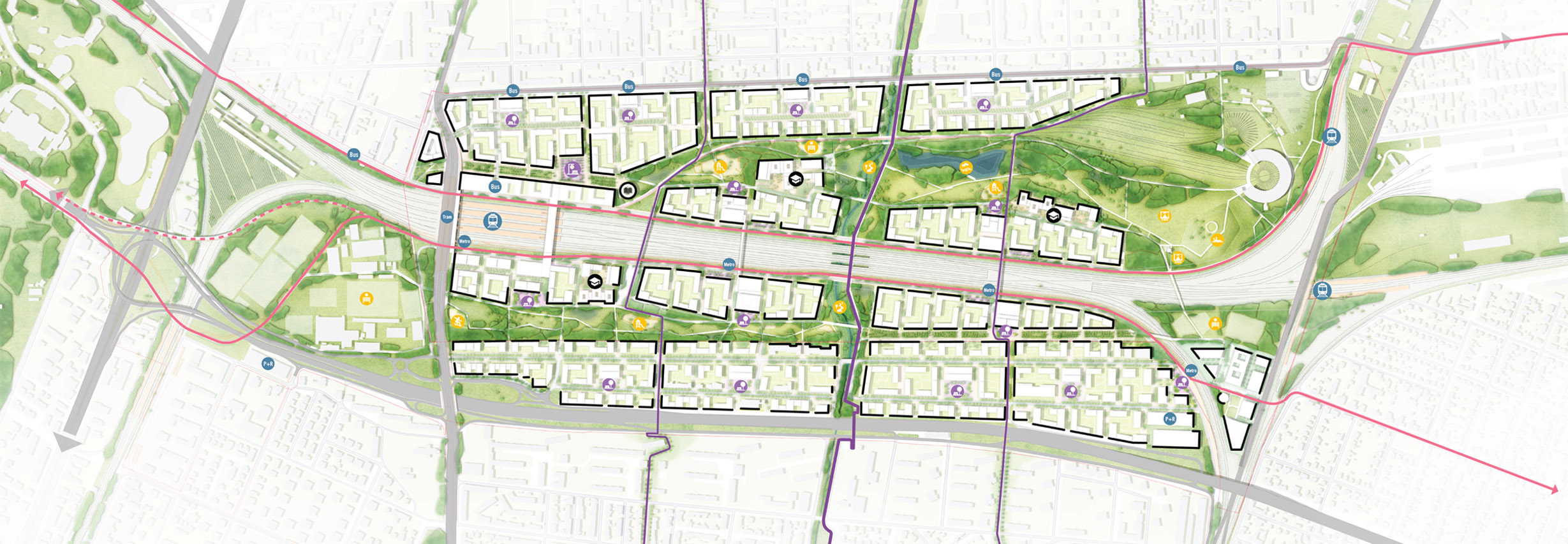
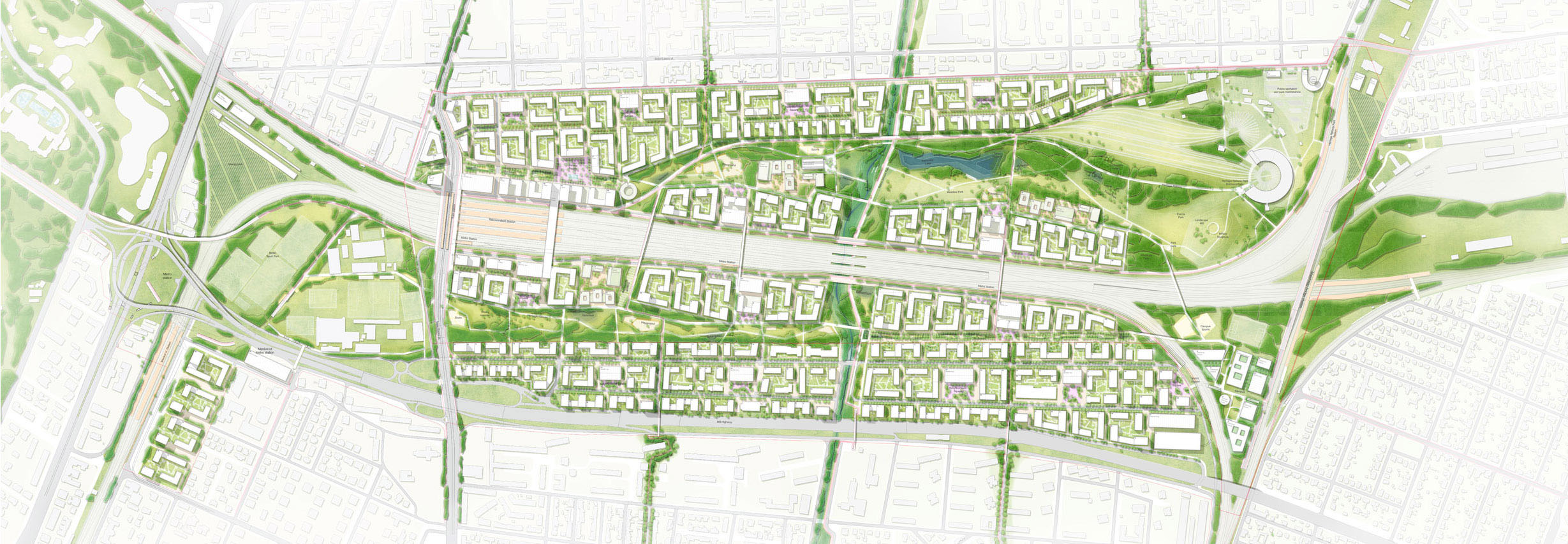
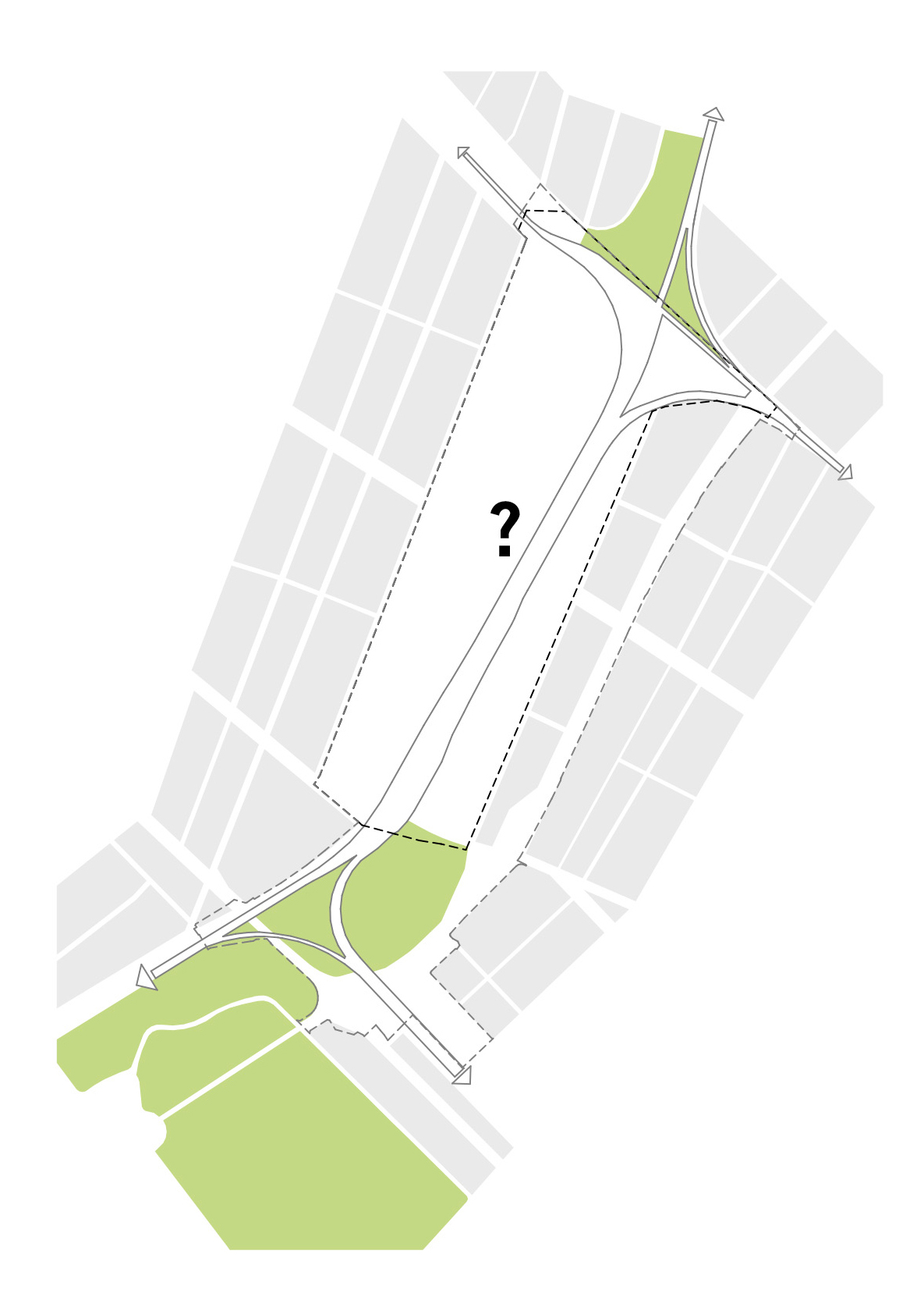
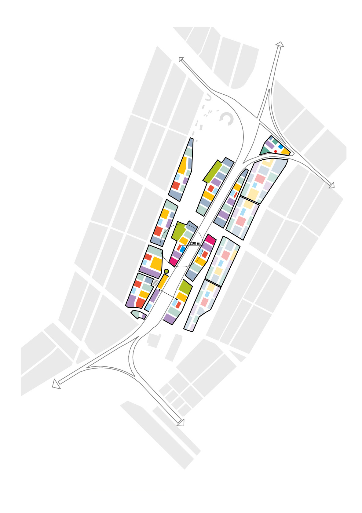
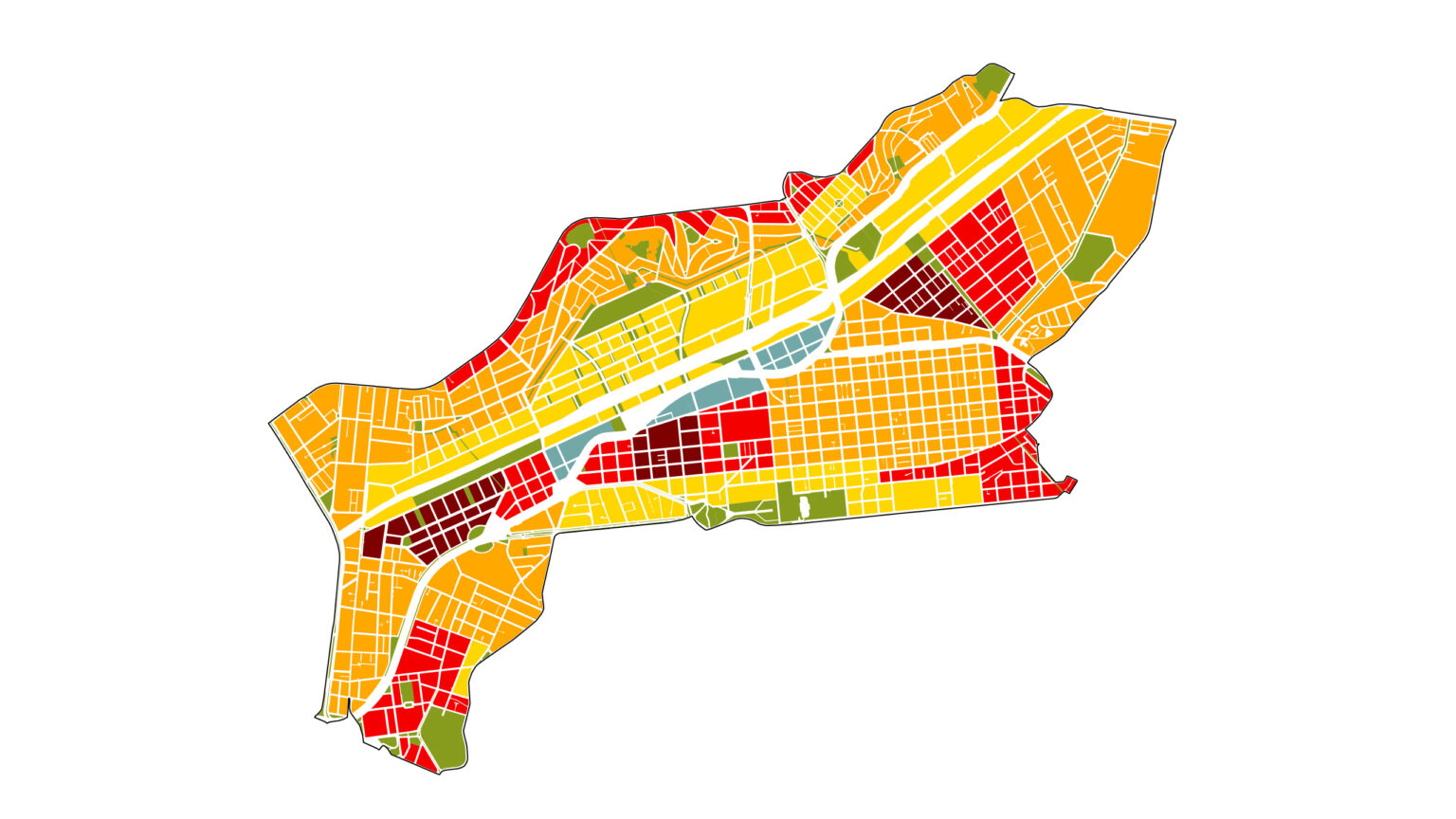
With RákosPark, Budapest can develop one of its last major inner-city redevelopment sites as a new part of the city center. The 244-hectare, largely undeveloped railway site is located in the northeast of the city. Existing rail tracks currently separate adjacent neighborhoods and shape the site’s spatial structure. The project combines climate-friendly urban development with mixed-use development and short daily commutes. The plan includes approximately 10,000 apartments, a significant portion of which will be affordable housing. Local amenities, daycare centers, schools, office space, and mobility hubs round out the offering and form the basis for compact “five-minute neighborhoods.”

Three planning principles guide the development: the landscape forms the foundation, mobility serves as the connecting backbone, and high density and mixed-use development provide the basis for compact neighborhoods.

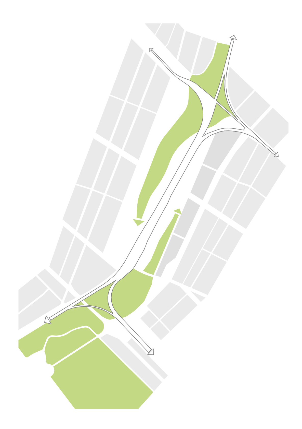
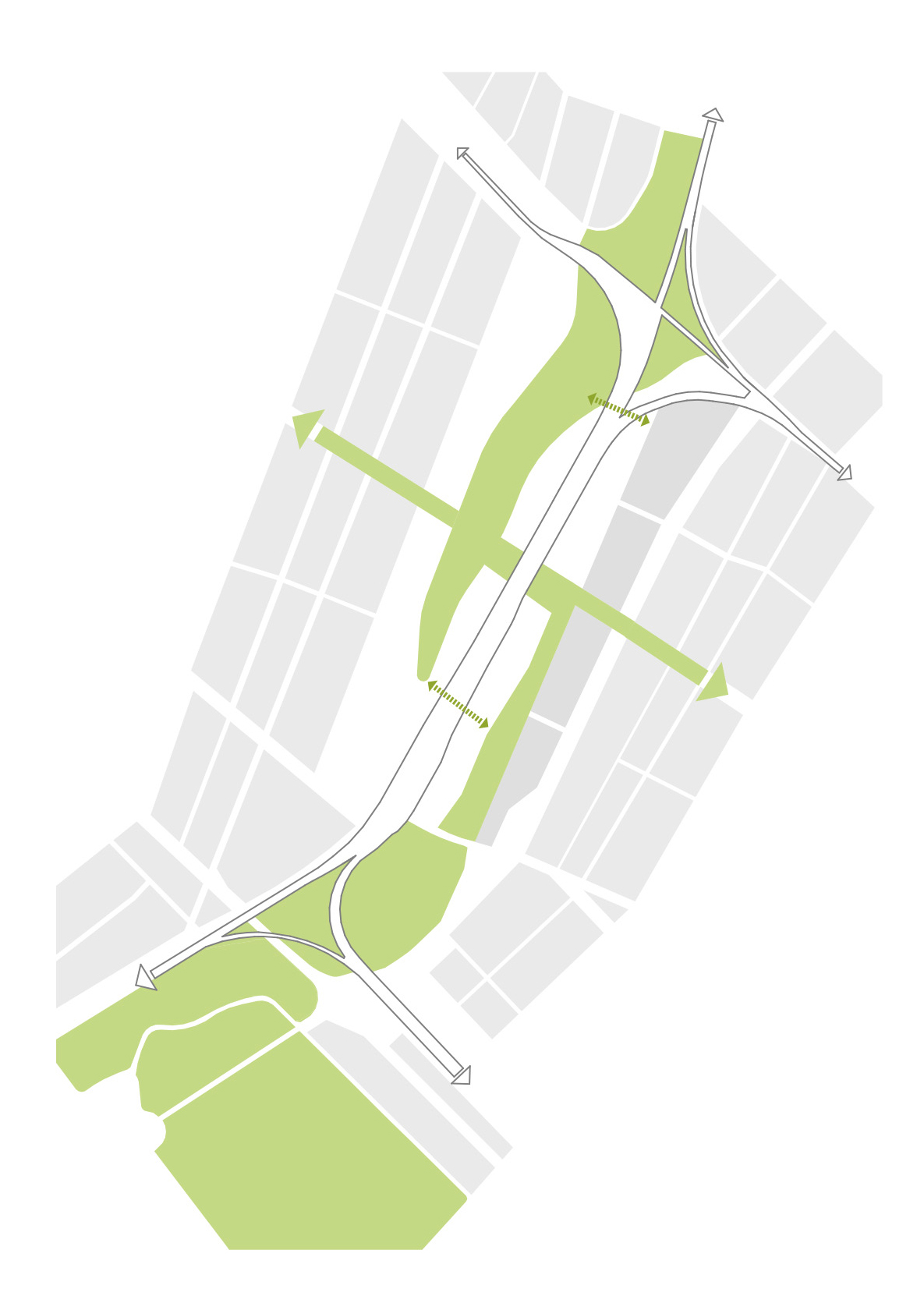
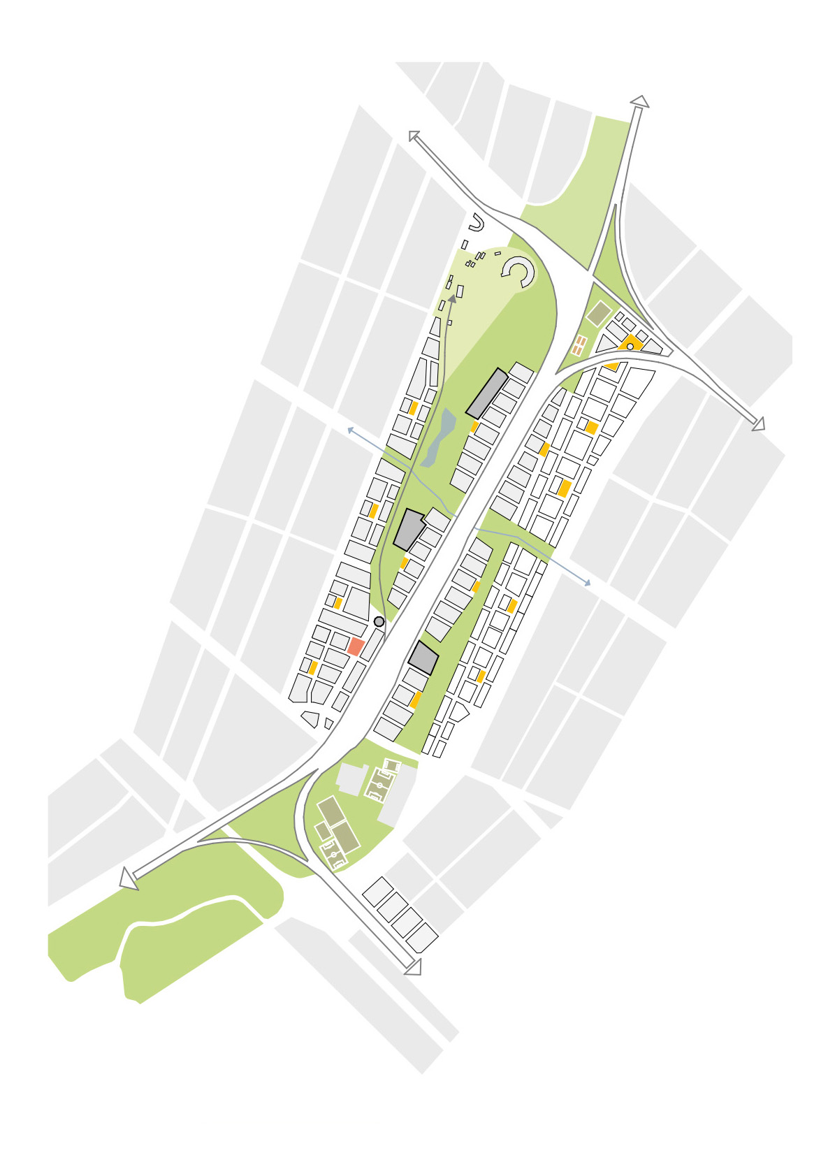
The guiding principle “City in the Park, Park in the City” makes open space the focal point of the development. More than 30 percent of the planning area will become part of a new city park and a continuous green-and-blue network. Existing open spaces, the Rákos Creek, and green corridors along the railroad tracks will be connected to one another and extended into the neighboring districts.

A north-south corridor runs from the historic city center through Andrássy Boulevard and Varosliget City Park into the new urban area. Underpasses, overpasses, and bike expressways bridge the existing barrier created by the railroad tracks. A new intermodal transportation hub integrates rail, metro, tram, and bicycle traffic. Along this infrastructure, compact neighborhoods are emerging where housing, workplaces, amenities, recreational activities, and open spaces are closely integrated.

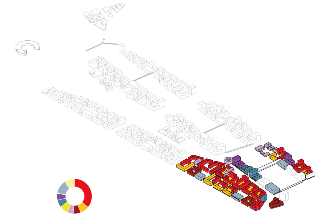
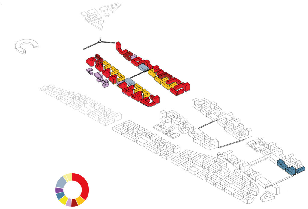
Phase 1
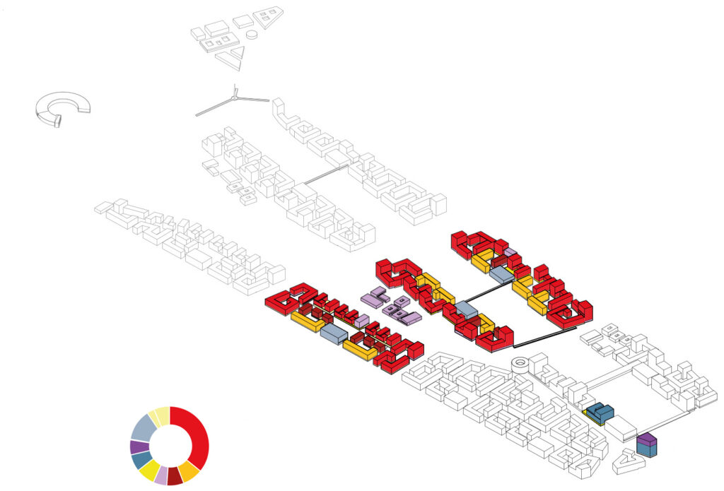
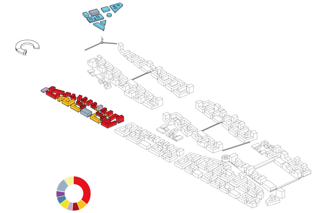
Phase 2
Phase 3
Phase 4

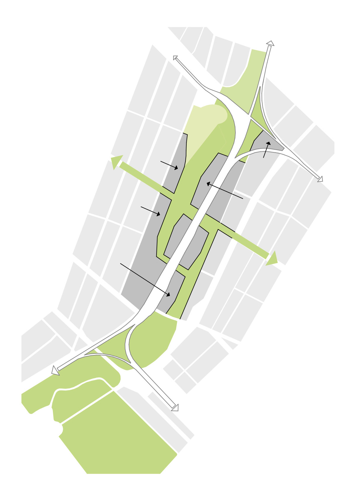
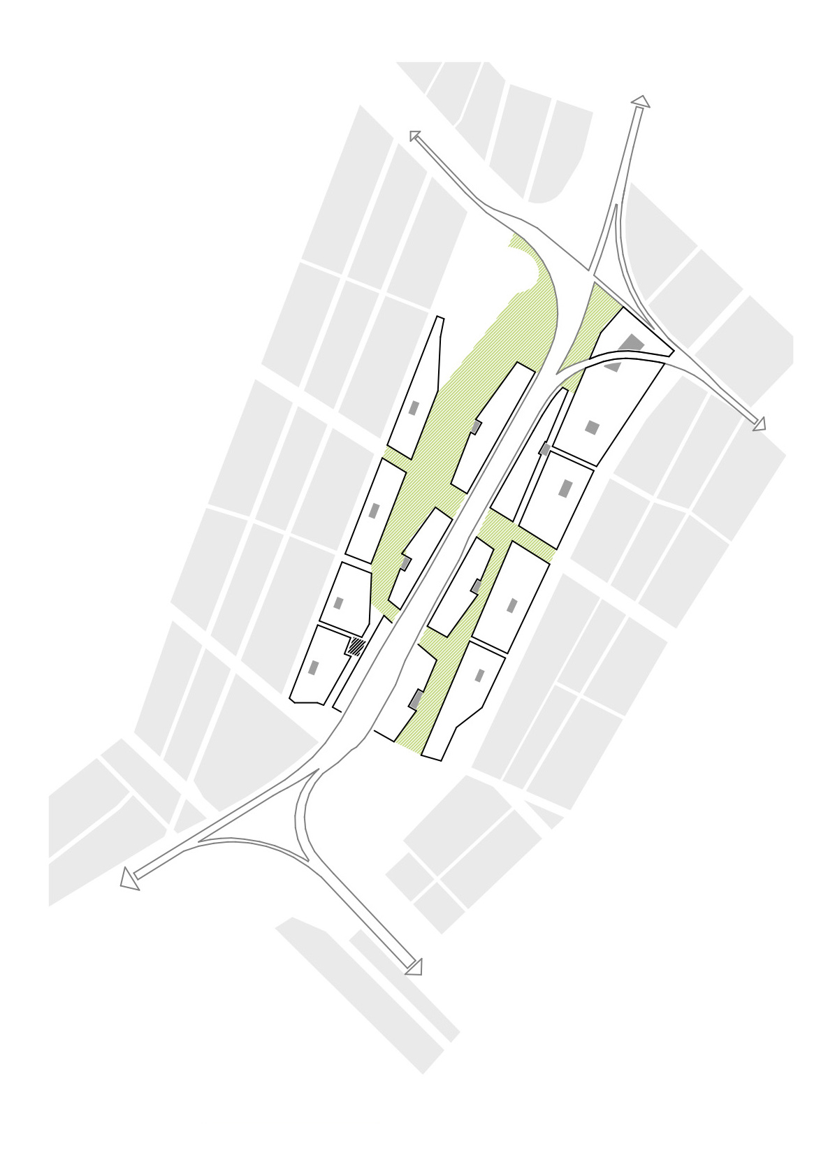
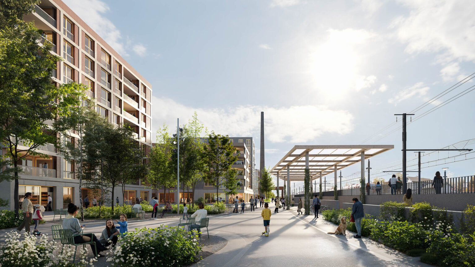
Clear transitions between built-up areas and the landscape integrate the neighborhoods with the park. Motorized traffic takes a back seat, while pedestrian and bicycle paths run alongside the green corridors. This creates a spatial framework that can be developed in phases and connected to other landscape areas over the long term.

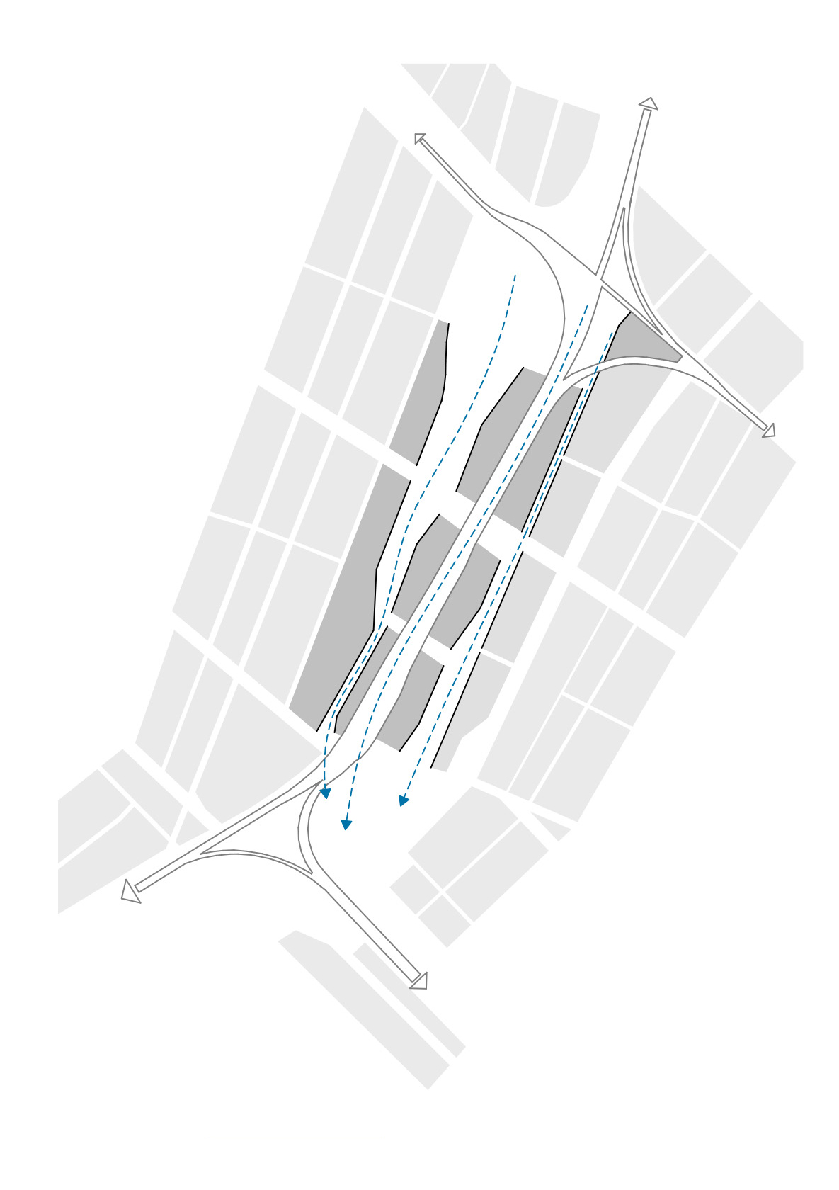
For ASTOC, RákosPark is one of a series of large-scale urban transformation projects characterized by a high degree of infrastructural and spatial complexity. The 3D CityBIM model, developed in parallel with the master plan, serves as a spatial analysis tool for further refining the design. Land-use distribution and phased development can be linked to a preliminary cost estimate. This allows for the analysis and optimization of cool air corridors, ventilation, sunlight exposure, solar potential, and thermal comfort in public spaces within the same model through an iterative process. As a result, urban planning decisions are directly linked to climate, energy, and land-use considerations.

RákosPark positions landscape as an equal component of the urban infrastructure for a new part of Budapest. Open spaces and mobility options shape the density of the area and create connections between previously separated neighborhoods. The new city park fulfills ecological, social, and connecting functions simultaneously. The park can be seen as a green counterpart to the Danube – a green river that branches out toward the city center.

Client
City of Budapest

Size
1,388,400 m² GFA, 244 ha

Planning
2025–2026

Project
Urban Master Plan, International Competition – 2nd Place

Collaboration
Archikon, Budapest, RMPSL, Cologne

Credits: (1, 5, 8) Play-Time, Barcelona; (2, 3, 4, 6, 7) ASTOC, Archikon, RMPSL; Cologne

Related projects

News