HafenCity, Hamburg
Master Plan for the Expansion of Hamburg’s Downtown Area
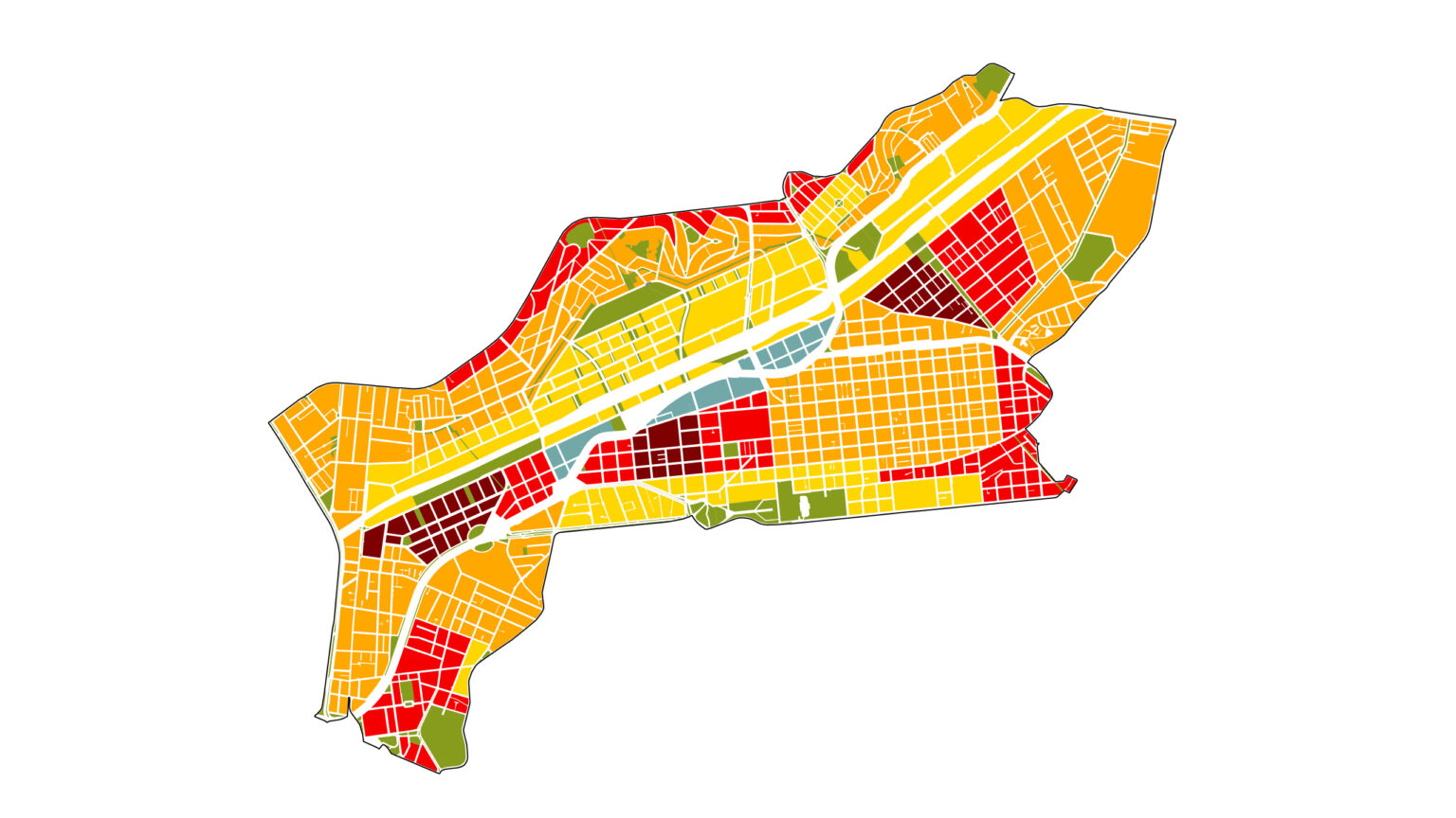
HafenCity expands Hamburg's city center by 40 percent and connects the historic fabric of the Speicherstadt with a new, flood-protected urban environment along the Elbe.
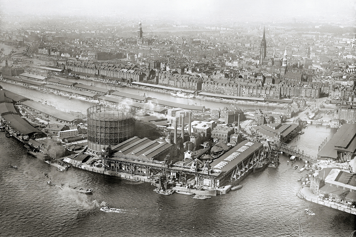
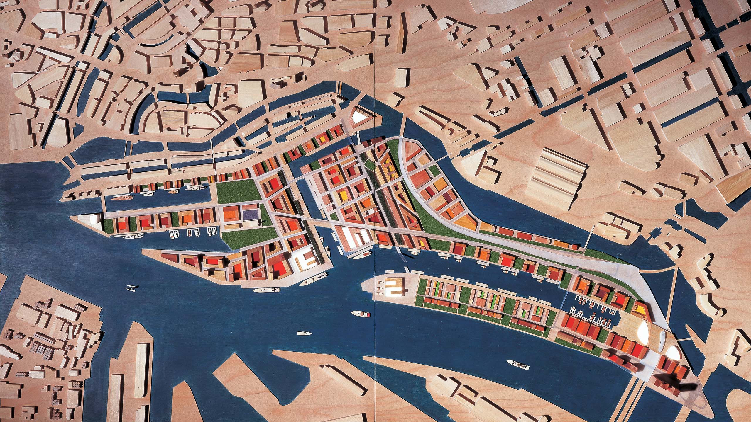
Historical aerial photographs from 1930 illustrate the former divide between the organically grown city center and the free port area, which was separated by the Speicherstadt. With an area of 157 hectares and a gross floor area of approximately 2.52 million square meters, HafenCity is today one of Europe’s most significant inner-city urban development projects. The project will expand Hamburg’s downtown area by 40 percent. The Speicherstadt serves as a morphological link and historical anchor point, reconnecting the city center directly to the Elbe after more than a century.
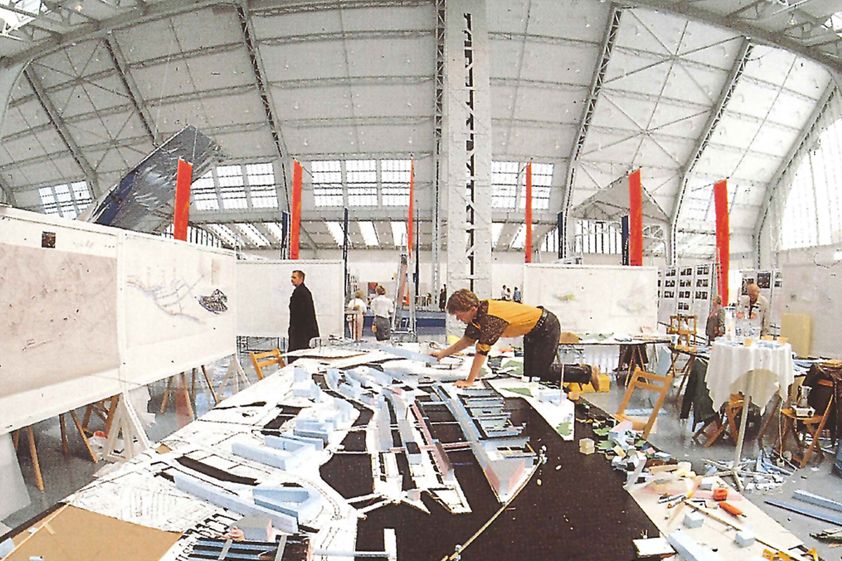
The conceptual foundation was laid as early as 1989 during the 4th Construction Forum at the Deichtorhallen. In an intensive workshop setting, architects and urban planners used large-scale working models to develop a vision for urban expansion on the site, which at the time was still used for port operations. These ideas were part of the overarching “String of Pearls” planning principle, which envisioned the revitalization of the northern Elbe waterfront and the gradual opening of the city toward the water.
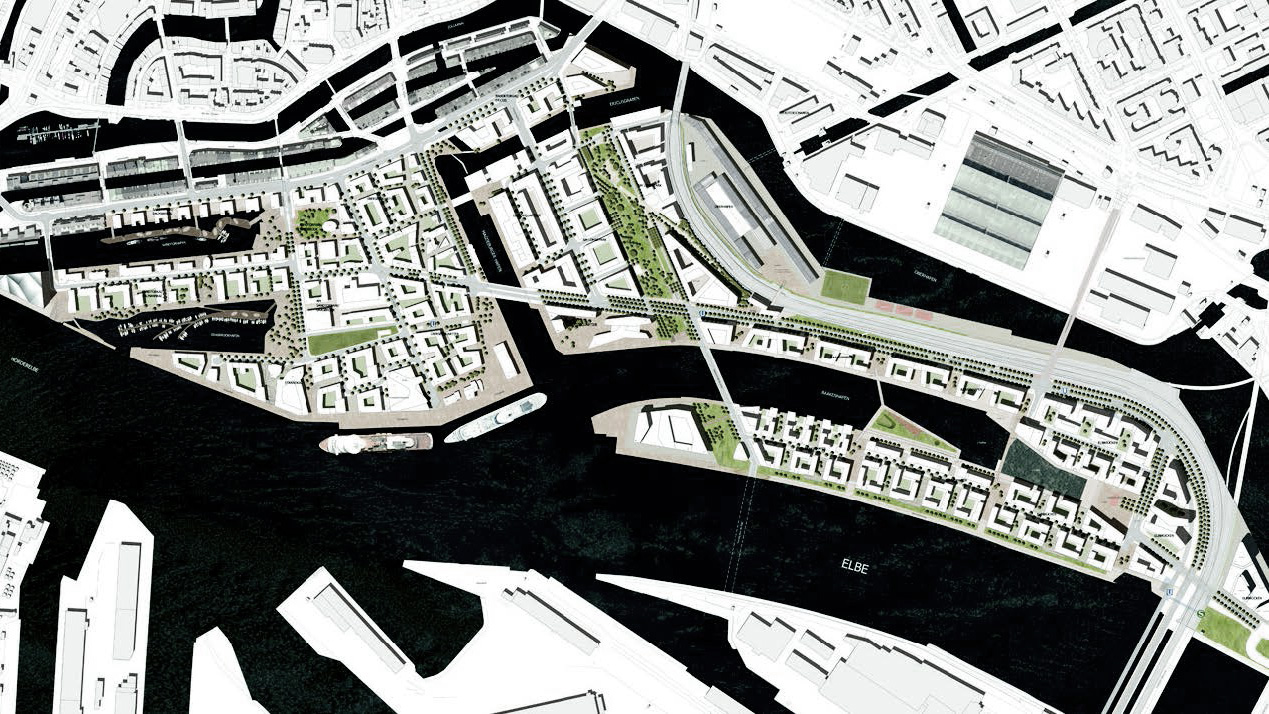
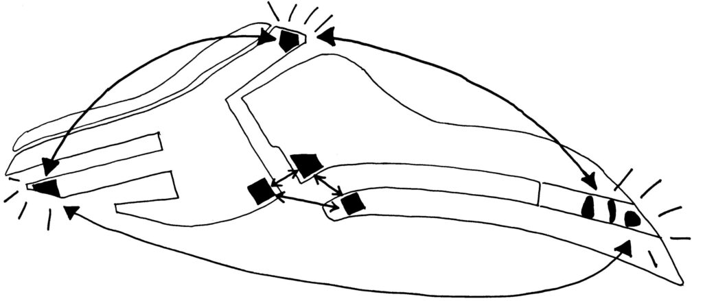
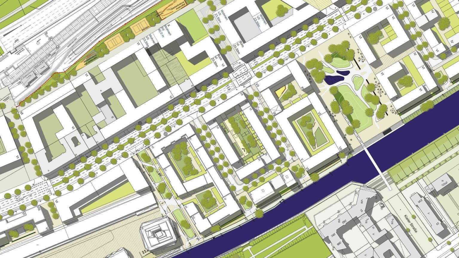
The concept developed by ASTOC in collaboration with KCAP is based on the methodological separation of fixed principles and an operationally flexible set of rules. This strategy ensures urban design quality in the face of irregular growth cycles and paradigm shifts–such as the transition from office-dominated planning to a mixed-use neighborhood with a high proportion of residential units and social diversity.
The master plan defined resource efficiency and mixed-use development as binding targets, thereby laying the foundation for the HafenCity eco-label. The resilience of this system was demonstrated in 2010 through the procedural expansion of the master plan to include the eastern neighborhoods, which involved extensive public participation.
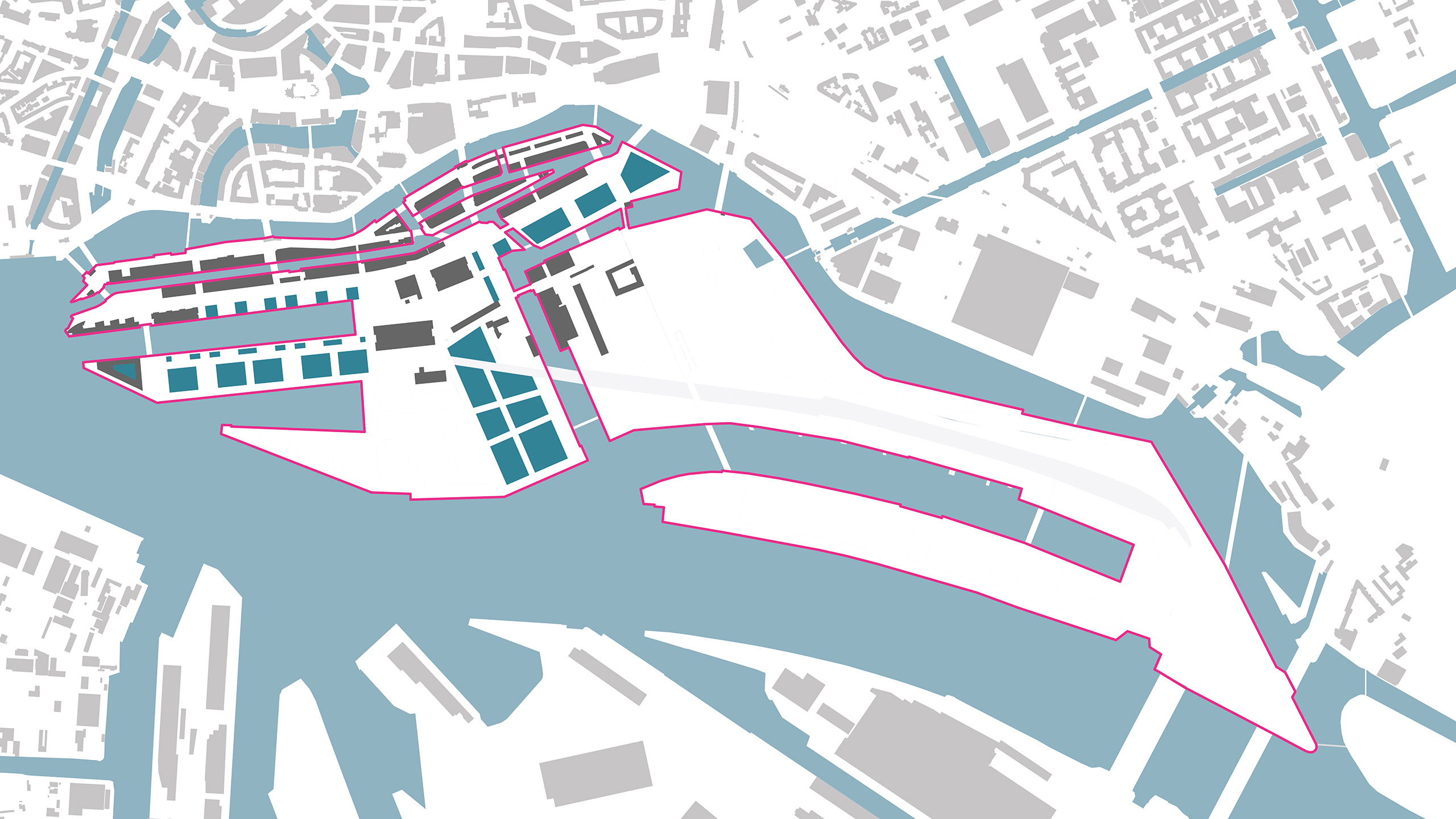
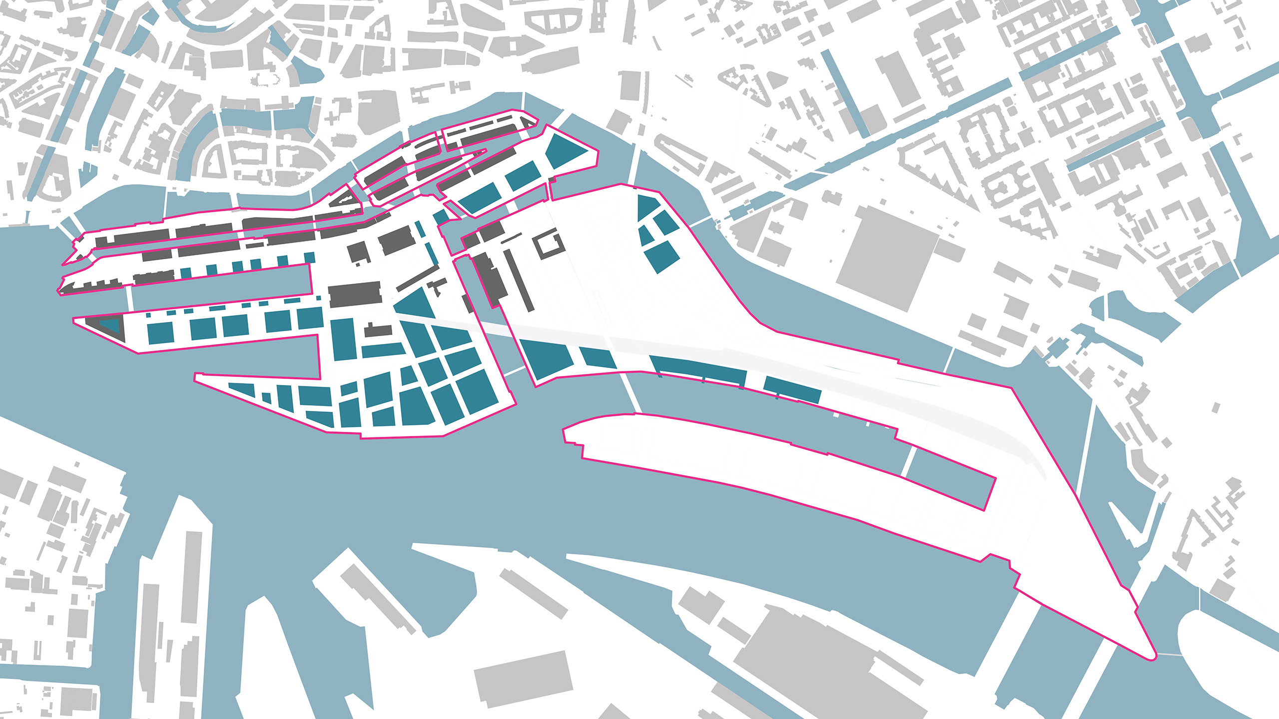
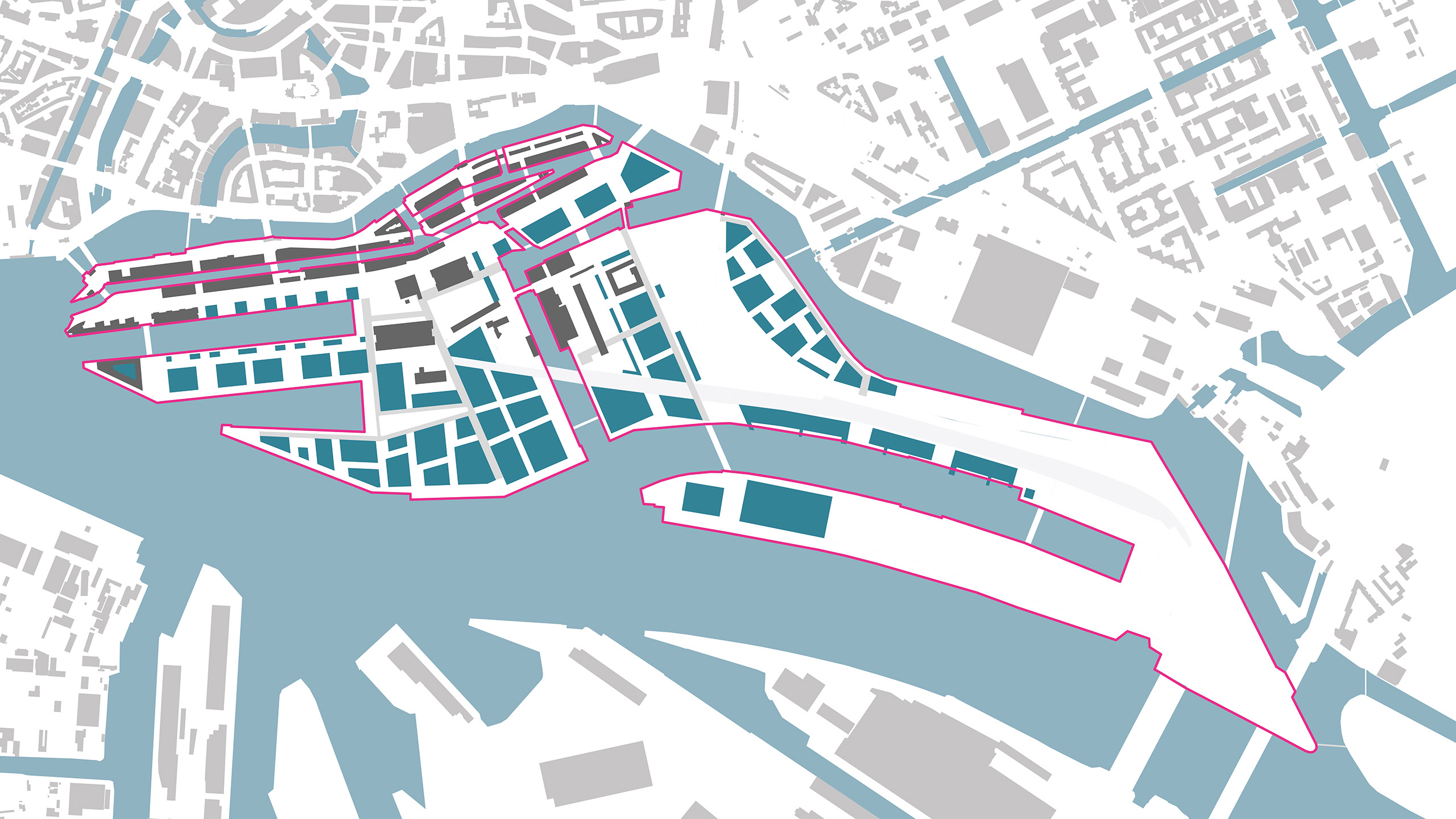
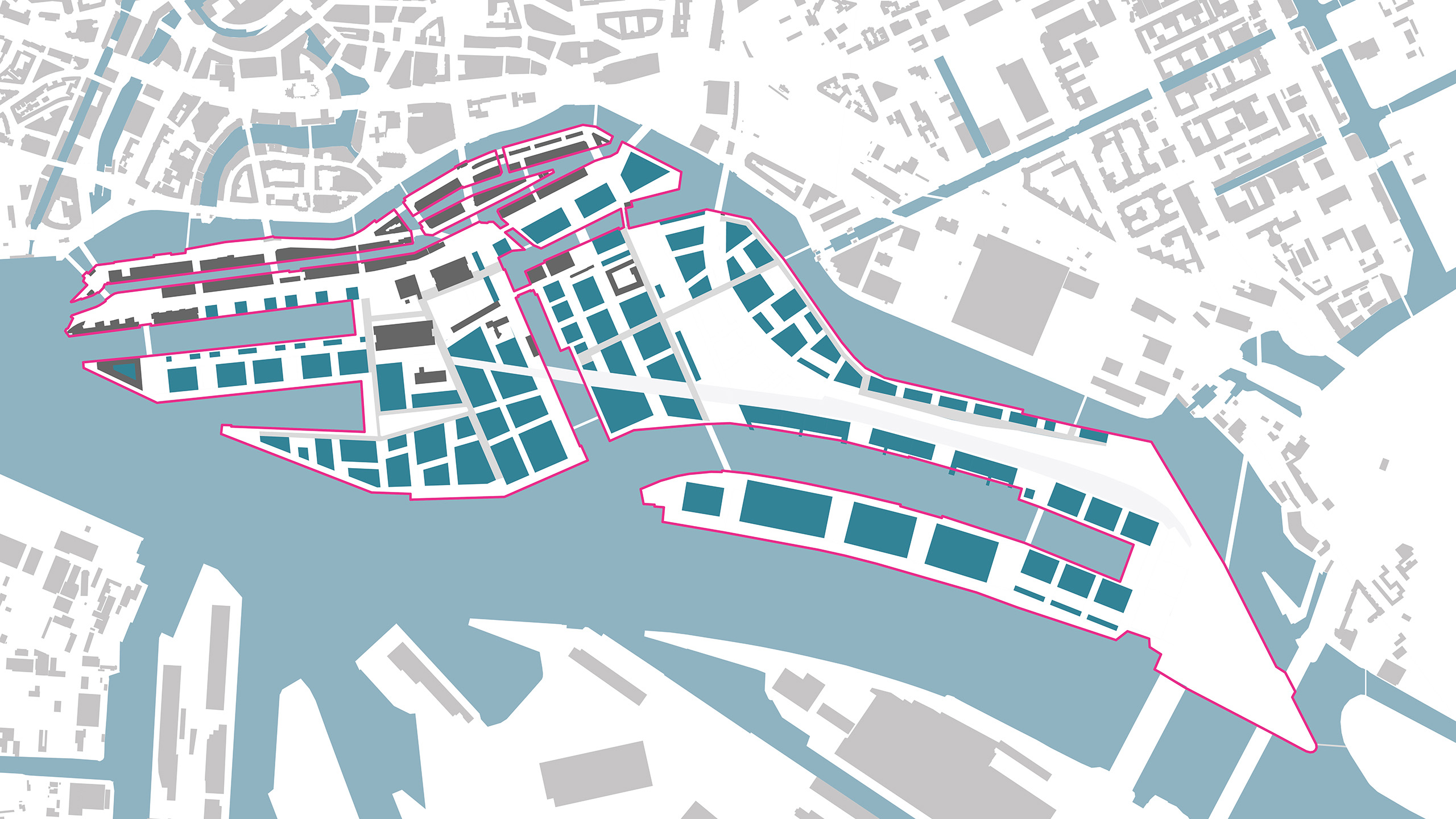
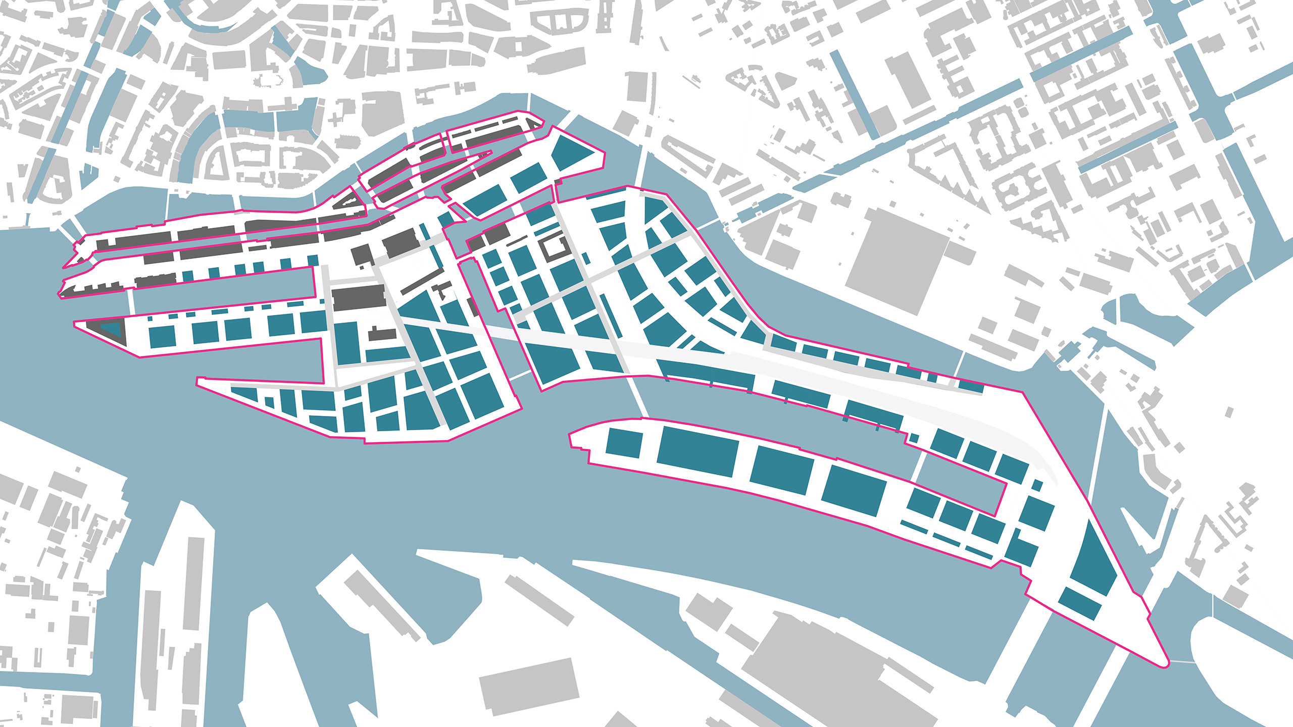
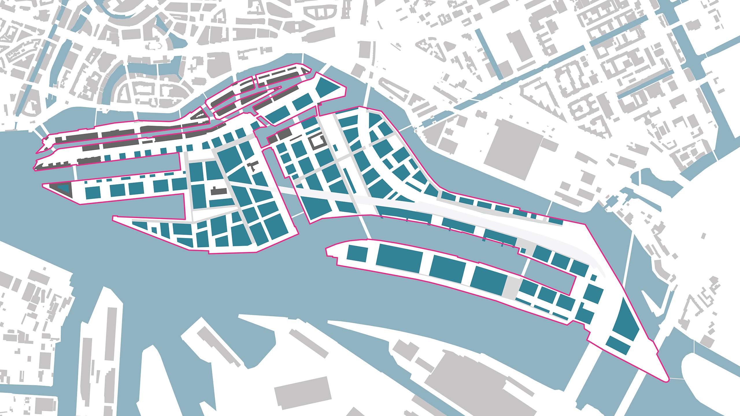
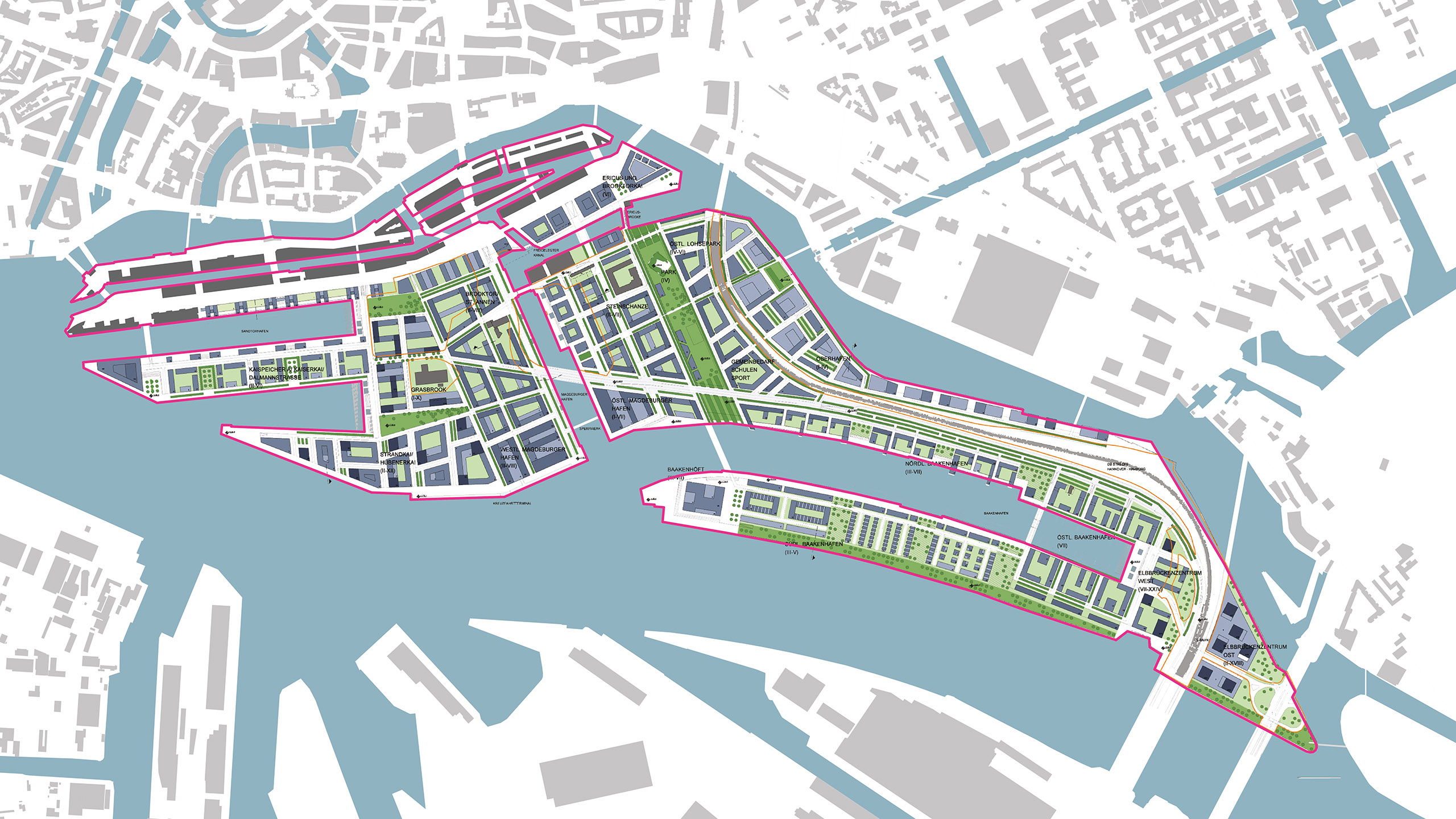
The construction project transforms the former port area into a high-density neighborhood for approximately 16,000 residents and around 45,000 jobs. The planning framework establishes precise guidelines that go beyond purely formal requirements. Fixed sightlines between the existing city center and the Elbe, as well as precisely defined density ratios and building height options, ensure the neighborhood’s basic spatial structure and visual permeability. A requirement for ground-floor spaces to be used for public-facing functions, along with a sequence of flood-protected squares and promenades, aims to foster continuous urban activity. The project’s implementation adheres to the HafenCity Eco-Label, a project-specific certification system for sustainable construction. This framework serves as a steering mechanism to enforce sustainability goals and a mobility concept that was radical for its time. At its core was the massive upfront infrastructure investment involved in the construction of the U4 subway line. The tunnel under the Elbe River and the early connection of the neighborhood to Hamburg’s rapid transit network formed the backbone of a city of short distances, one that reserves public space primarily for pedestrians and cyclists and systematically reduces dependence on motorized private transportation.
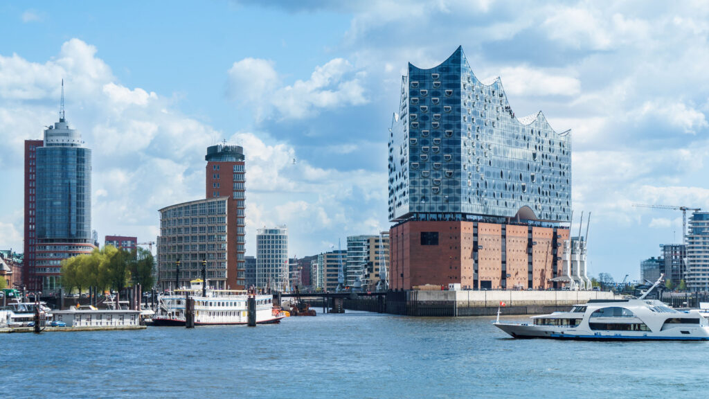
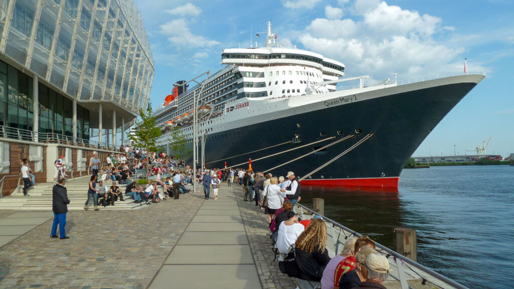
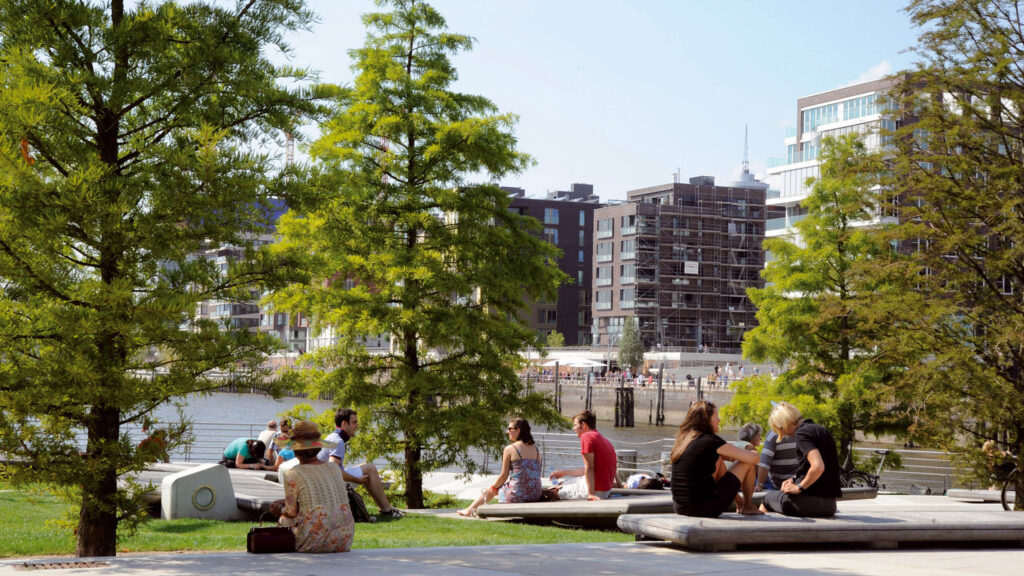
The stability of the design stems from the interplay of Hanseatic tradition, the materiality of clinker brick, the scale of the European city, and global innovation in the form of climate adaptation strategies. The “Warften” solution, an artificial elevation of the terrain designed to provide flood protection while simultaneously incorporating water features, forms the technical foundation for this. The added value lies in a resilient urban structure, which was facilitated by ASTOC and KCAP. The project demonstrates that large-scale planning can remain manageable over decades through a learning framework.
Client
HafenCity Hamburg GmbH, Free and Hanseatic City of Hamburg
Size
157 ha
Planning and Implementation
1999–2030
Service
International Competition (1999, 1st Prize), master plan, facilitation and functional plan for Dalmannkai, Überseequartier, and Strandkai; technical support for the zoning plans
Collaboration
KCAP, Rotterdam, and Hamburgplan
Awards
Auszeichnung Guter Bauten 2017, BDA Mülheim a.d.R., Architizer A+Awards 2017, category Higher Education & Research Facilities, nomination Immobilien Manager Award 2017, category project development new build, shortlist, iF Design Award 2017, discipline architecture
Credits: (1,16) Thomas Hampel ELBE&FLUT, (2) Public domain via Wikimedia Commons Gustav Werbeck, (3, 4–12,16) ASTOC, (13) Adobe Stock MStein, (14) Prof. Leo Schenk