Inner harbour Seoul-Incheon Korea
From the harbor area to the new waterfront cityscape
The harbour’s structure will form the framework of the new city.
Harbour areas are among the major areas of transformation in growing metropolitan cities. In Seoul-Incheon, this challenge is concentrated in a location situated between an international airport, the historic city center, and a nearly compact metropolitan settlement structure. Covering 464 hectares, the Inner Harbor is of such a scale that its development is a challenge for the city as a whole. Changing demands in container shipping have shifted port activities to new facilities north and south of the Inner Harbor. This creates new opportunities for housing, work, leisure and public spaces along the waterfront. At the same time, it presents an opportunity to link Incheon’s Old Downtown more closely with the coast and the surrounding neighbourhoods.


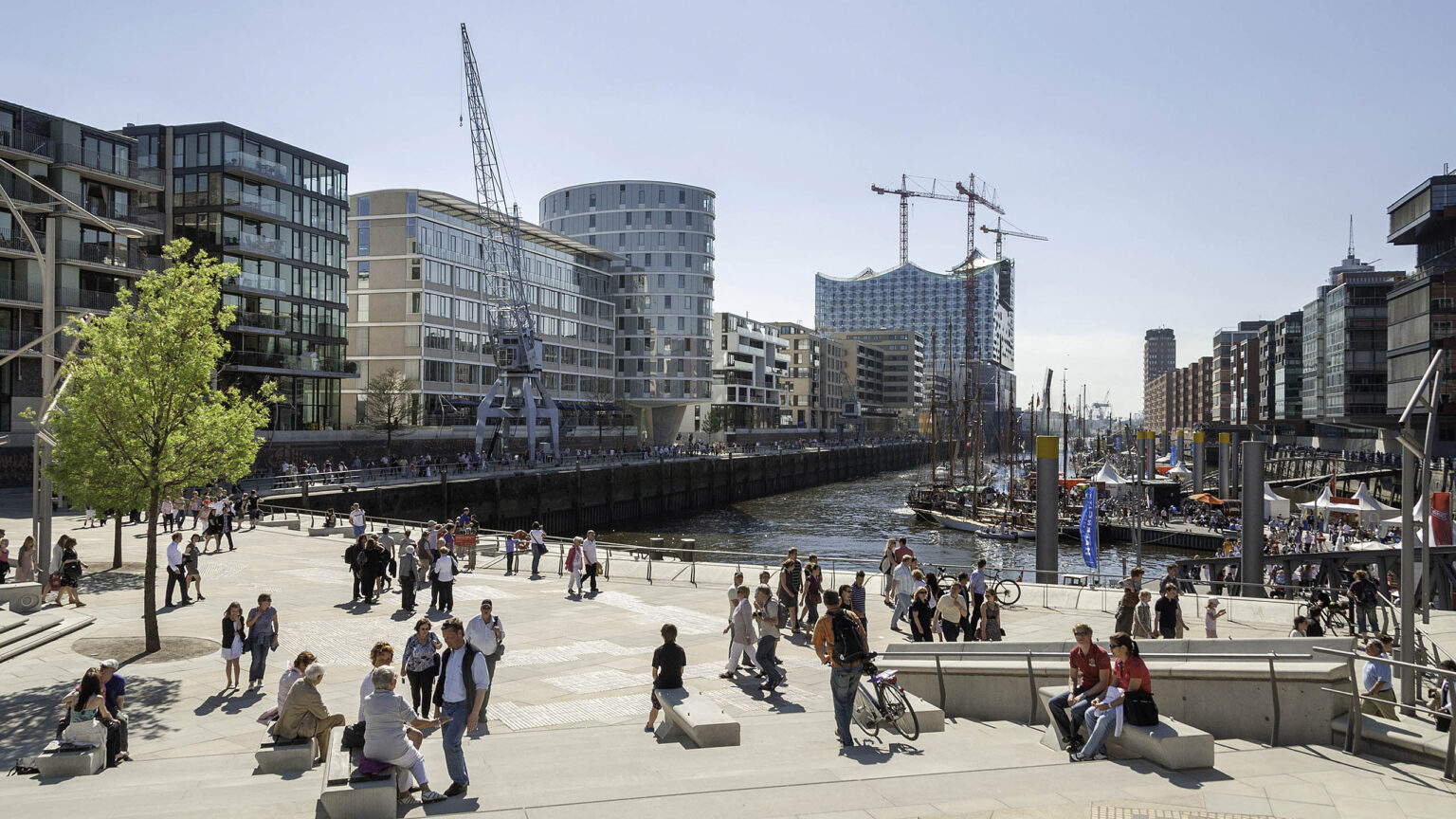
For ASTOC, this project builds on the firm’s long-standing experience with the transformation of large harbour areas. Experience gained from HafenCity Hamburg, as well as competition entries for Køge Kyst and the Winter Harbor in Bratislava, provide a framework for addressing long-term structural change and large-scale development processes. The starting point for the master plan is the existing geometry of the harbor. The Y-shaped structure of the harbor basins divides the area and serves as the spatial framework for the new urban landscape. Various neighbourhoods, land uses, and building typologies occupy the piers, creating distinct locations along the waterfront. The harbor remains recognizable as a defining element of the place while simultaneously being developed into a public urban space.
A master open-space loop connects the key green spaces and urban areas around the Inner Harbor. It runs from Incheon Old Town and Jayu Park in the north, past the train station, to the new mixed-use neighbourhoods along the harbor promenades, continuing through a green basin in the south to Wolmi Park on the west side. Parks, squares, promenades, and walking paths weave this overarching network into a cohesive urban landscape.


Public transportation complements this spatial framework and creates direct connections within the large development area. A tram line connects Old Downtown with the new neighborhoods around the harbor. A cable car and water taxis supplement the network with direct cross-connections. Bridges between the piers, along with a dense network of pedestrian and bike paths, shorten travel distances within the 464-hectare area. Mobility stations at the stops consolidate additional services and support a neighbourhood-based organization of off-street parking. The existing harbour basins become the connecting element between the new neighbourhoods. Their waterfronts form public spaces, while bridges and paths link the individual piers. Sightlines along the harbour basins are preserved and extend the maritime geometry into the urban landscape. This creates a variety of spaces for daily life, leisure, sports, and culture. The former port infrastructure is evolving into a cohesive urban landscape where harbour basins, new open spaces, and urban uses intersect directly.
Inner Harbour demonstrates how a large-scale harbor area can gradually become part of the existing city. The key factor here is not individual building placement, but rather a robust spatial framework composed of water, open space, and mobility. It provides orientation and identity, connects existing and new urban areas, and allows for varying rates of development. In this way, the transformation of the harbour becomes a long-term process that creates new urban spaces while preserving the site’s unique character.
Client
Incheon Metropolitan City, Seoul-Incheon, Ministry of Oceans and Fisheries
Size
464 ha
Planning
2018
Service
International Master Plan, 2nd Place
Collaboration
BAEK Architekten, Berlin
Credits: ASTOC