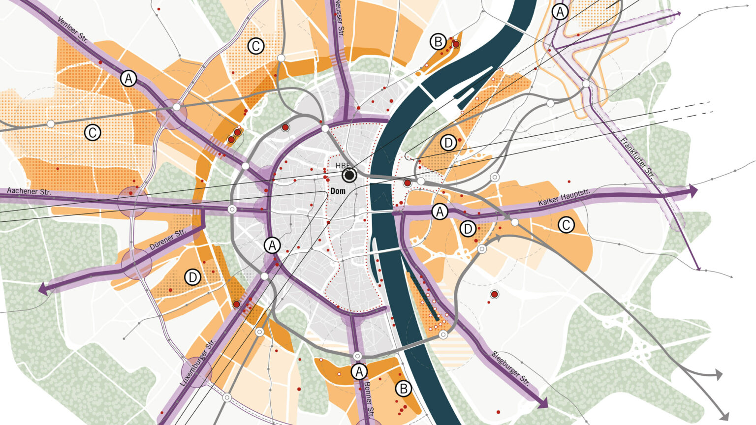
Magistralen 2040+ master plan
A master plan for Hamburg’s main arteries
City entrance, first address, district center and at the same time caesura, a barrier and transit space. If you want to shape the growth of the city, you can't avoid the main thoroughfares.
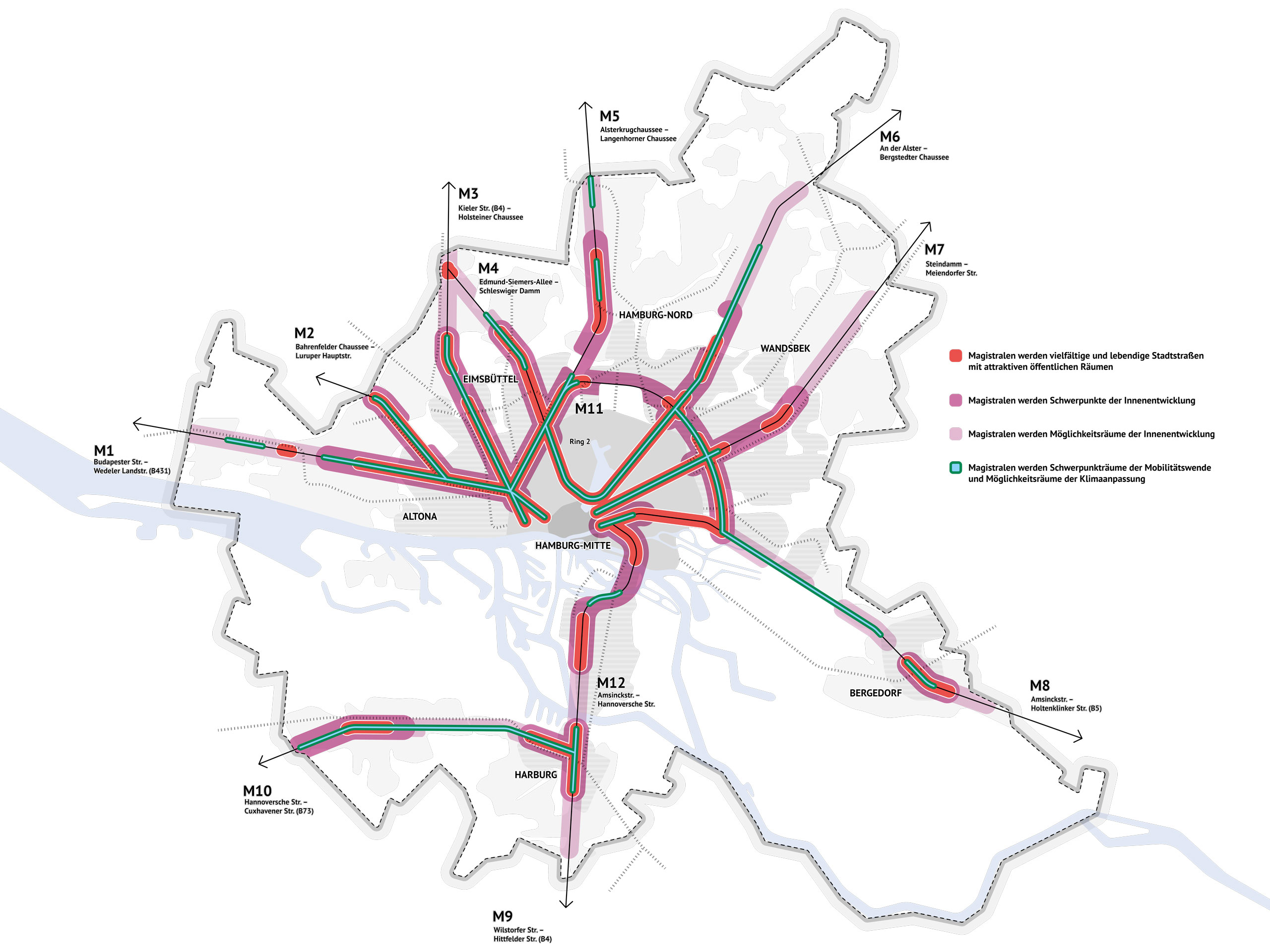
Twelve arterial roads across all themes and locations in the city: the major entry and exit roads, where the focus is currently on the transportation of people and goods, offer a wide range of potential for urban development. More than 550,000 people live on or in the immediate vicinity of an arterial road. 160 kilometers of urban space stretch along the Magistralen, more than half of the main traffic axes have a traffic volume of more than 26,000 vehicles per day, and 71% of the Magistralen are already heat-stressed today. With the International Building Forum 2019, in which international and interdisciplinary planning teams developed visions for the traffic arteries and their urban spaces in a week-long planning workshop, the city of Hamburg provided the first major impetus for the development of the Magistralen. Since then, the Magistralen have become the focus of Hamburg’s urban development.


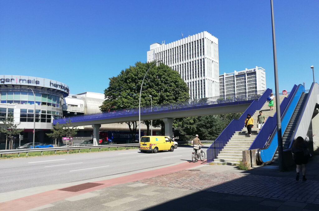
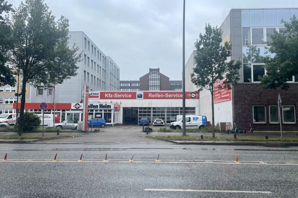
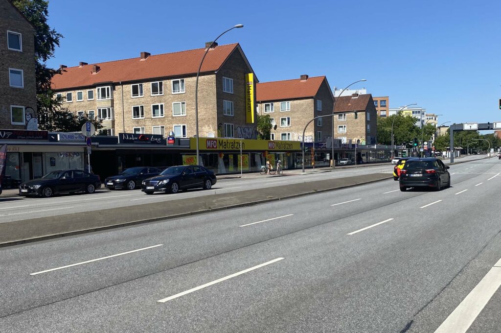
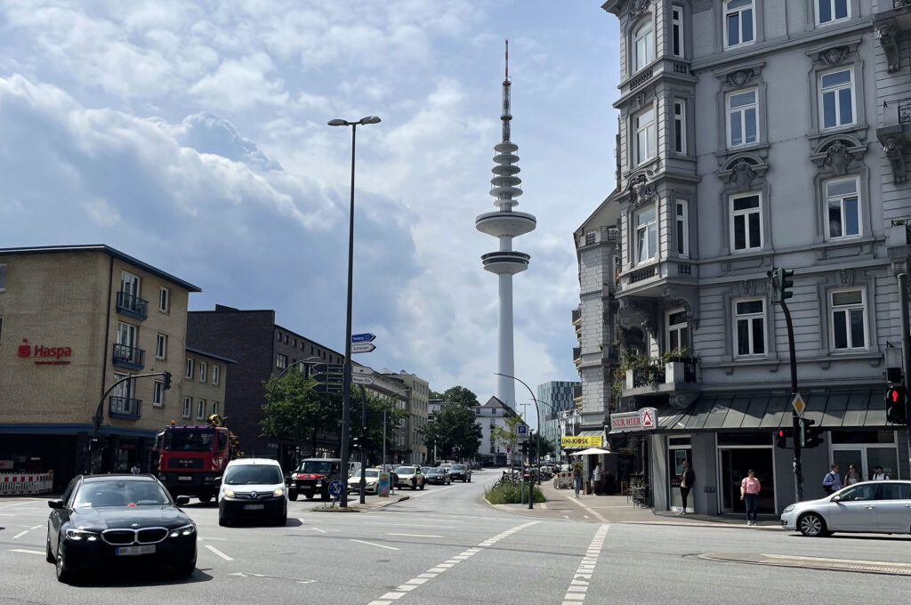
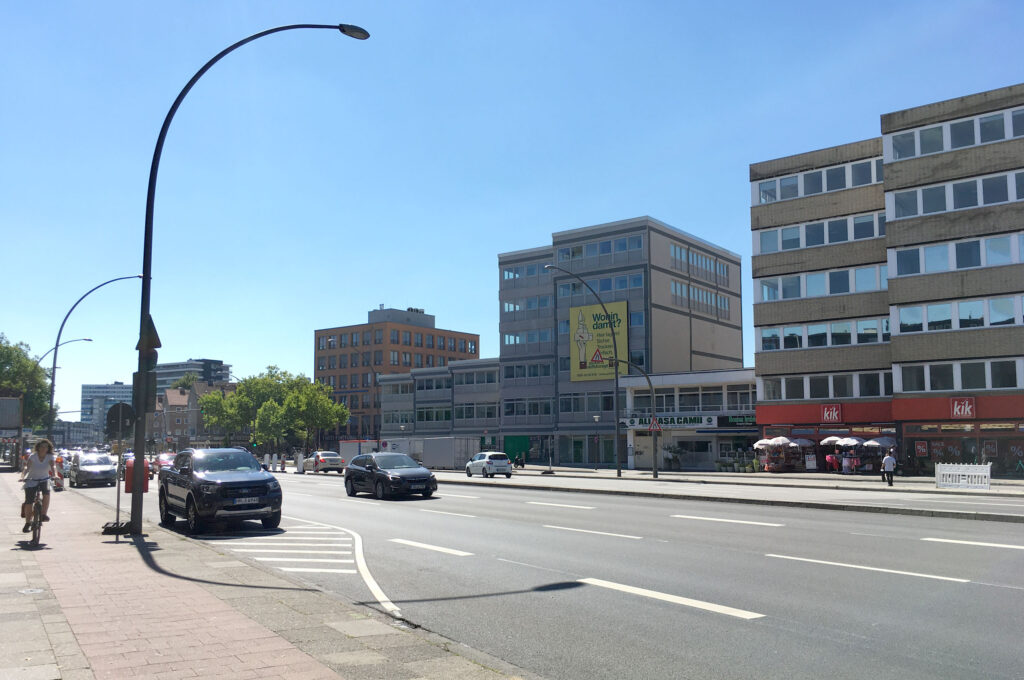
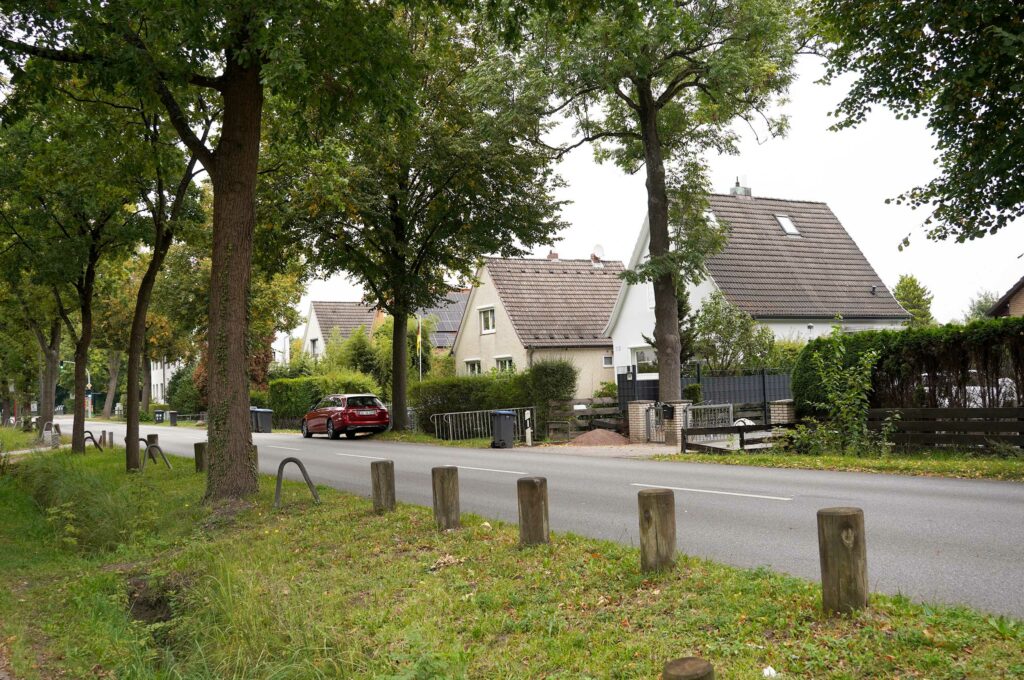
Heterogeneous urban spaces along the main roads
With the city-wide master plan, Hamburg is the first metropolis to address the future role of its Magistralen. The Magistralen master plan provides a framework between the metropolitan region, city and districts. At a city-wide level, it sets out the role that each Magistrale can play as a driving force for innovative urban development. At a local and urban planning level, it takes the perspective of the people who live and work along the Magistralen. The Magistralen Masterplan is a strategic plan that brings together tasks and requirements across the city and at the same time describes the transformation of specific locations that could hardly be more different.
As urban spaces, Hamburg’s main thoroughfares are characterized by a strong internal logic. They are major traffic arteries and, at the same time, places to live, work, and experience daily life. They shape the city’s structure not so much as designed spaces, but primarily as functional spaces connecting the city center with the surrounding region. Due to diverse land-use demands, they are subject to enormous forces of change. A key driver for the future development of the Magistralen is the conviction that previously undiscovered qualities of life can emerge here, right in the heart of the city. This will be achieved through greater diversity of use, attractive public open spaces that have a high quality of living, and new offerings for various forms of housing, workplaces, and community gathering places. At the same time, the main thoroughfares offer the potential for a mobility- and climate-friendly redesign of street spaces.
By creating urban development and open space qualities, the Magistralen will become the city’s “calling cards”. The master plan formulates four strategic development goals, translates them into thematic strategy maps and into spatial terms, and visualizes concrete objectives in the public space that provide assistance in implementing the various tasks in the diverse spaces. It serves as an overarching spatial strategy and orientation framework for all future planning and projects on Magistralen.


Nine spatial types
The spaces along the Magistralen are diverse and require overarching planning approaches. Nine characteristic spatial types exemplify the diversity of urban development and transportation. The prototypical target images for each spatial type show what changes are possible in these spaces in the future.
The Magistralen master plan was developed in an intensive, two-year process in cooperation with various departments from specialist authorities and seven district offices. A series of workshops provided a stable platform for the authorities and district offices to discuss important urban development issues and local requirements with each other and to look ahead strategically. In line with the challenges, the concept was developed by an interdisciplinary planning team with expertise in strategic urban development, process management, urban planning, mobility, open space, climate adaptation and economics.
The development of the Magistralen is a task for generations. The range of themes and scales with which the master plan responds to the complex issues is special: With a time horizon of 2040+, the master plan formulates goals, contains spatial-strategic statements (Where is there development potential for different functions?), qualitative-design target images (What should the Magistralen areas look like in different spatial situations in the future?) and instruments for implementation. In a cooperative process, a long-term steering structure and even closer cooperation were established. This has created a framework in which the Magistralen can gradually develop in the short, medium and long term through numerous complementary measures.
In the coming years, the Magistralen will become the arena for future topics for the sustainable development of Hamburg – be it as a real laboratory for the mobility transition, a field of action for climate adaptation and climate protection or a space for new forms of urban production.


Client
Ministry for Urban Development and Housing, Hamburg
Size
160 km length
Planning
2022-2026
Service
Strategic master plan
Collaboration
urban catalyst, Berlin, ARGUS Stadt- und Verkehr, Hamburg, berchtoldkrass space&options, Karlsruhe
Credits: (1–16) ASTOC, urban catalyst, ARGUS Stadt- und Verkehr, berchtoldkrass space&options, 17 bloomimages